Angle Measurement
Horizontal and vertical angle measurements are of high 1 second accuracy.
Horizontal and vertical angle measurements are of high 1 second accuracy.
Slope distance measurement is of 1mm accuracy, with realistic light reflection effect and audio feedback.
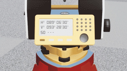
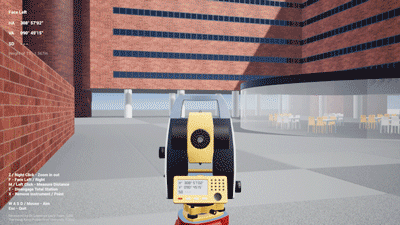
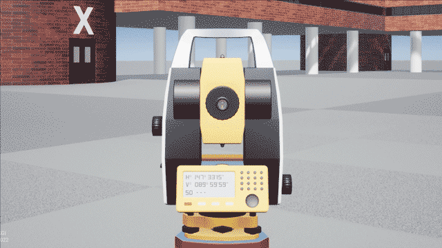
Angles and distance are displayed on the control panel continuously like a real total station.
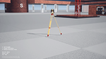
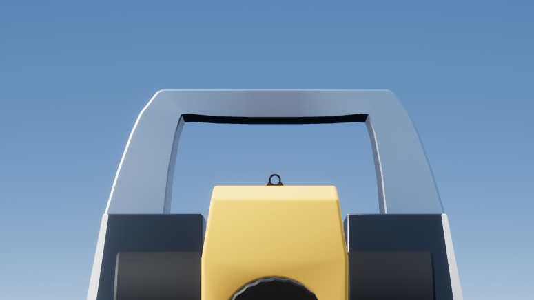
A bright ring is provided for fast rough positioning of instrument setup.
Optical plummet can be used for precise centring of instruments.
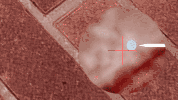
User will be warned when setting the instrument too close to wall or object.
Line of sight can be easily checked with the semi-transparent instrument during the setup.
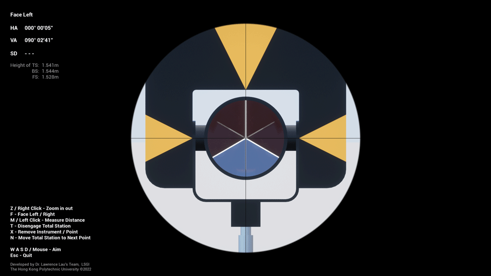
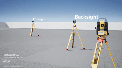
Total station can switch between face left and face right for error cancellation.
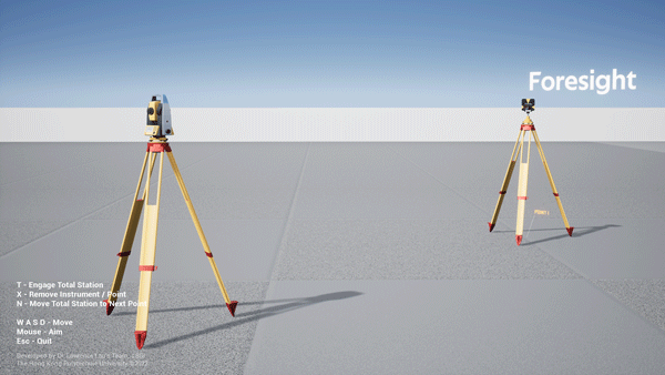
Targets are clearly labelled for easy identification. They will point to the total station or user automatically.
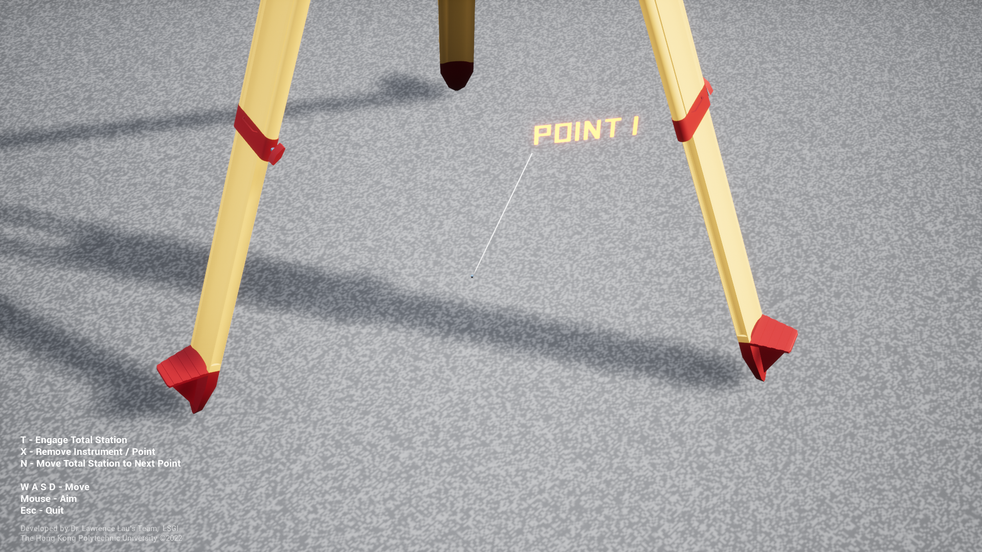
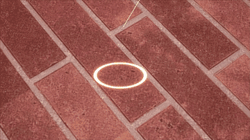
New points are marked and labelled sequentially, user can revisit them later if needed.
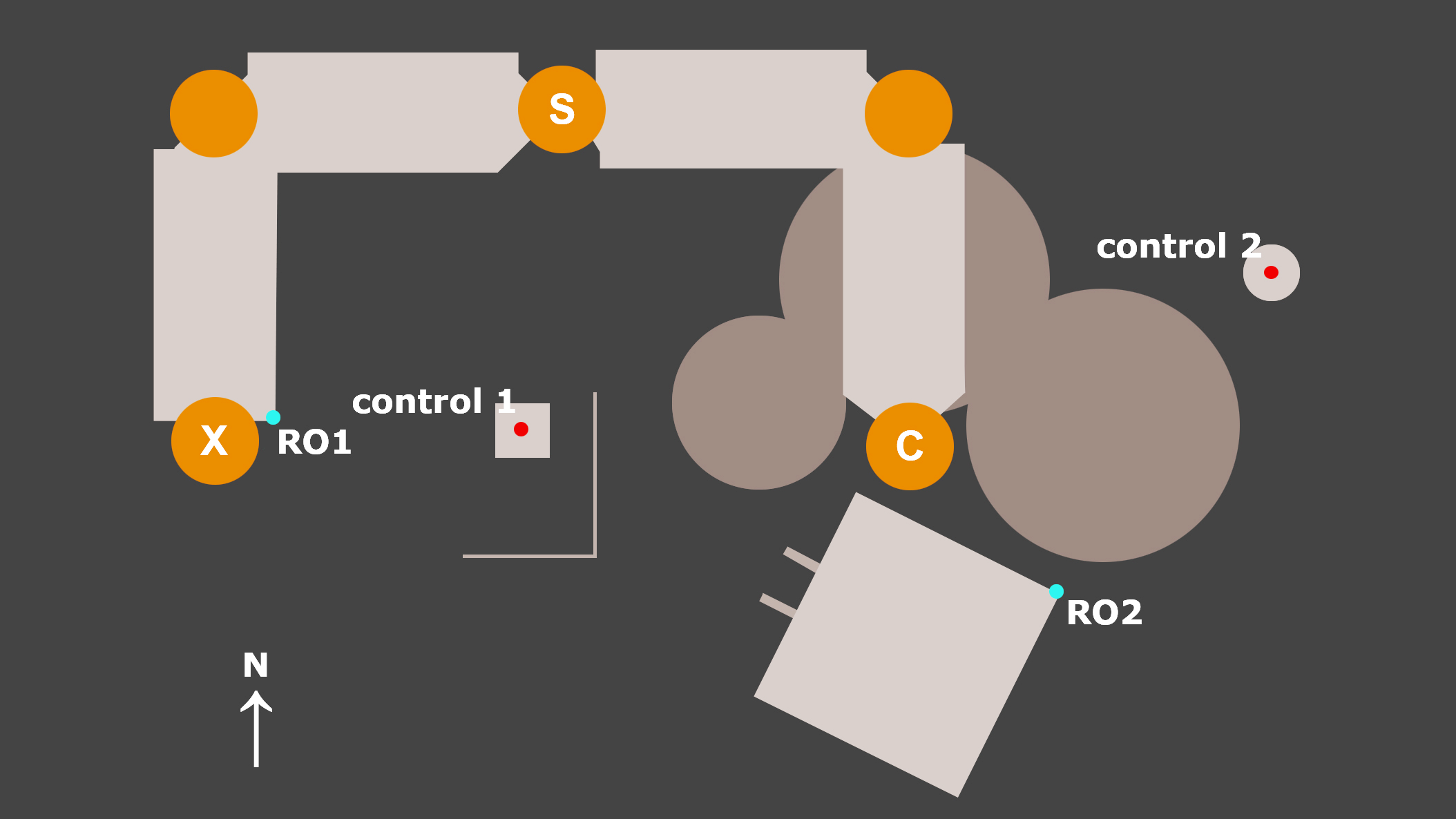
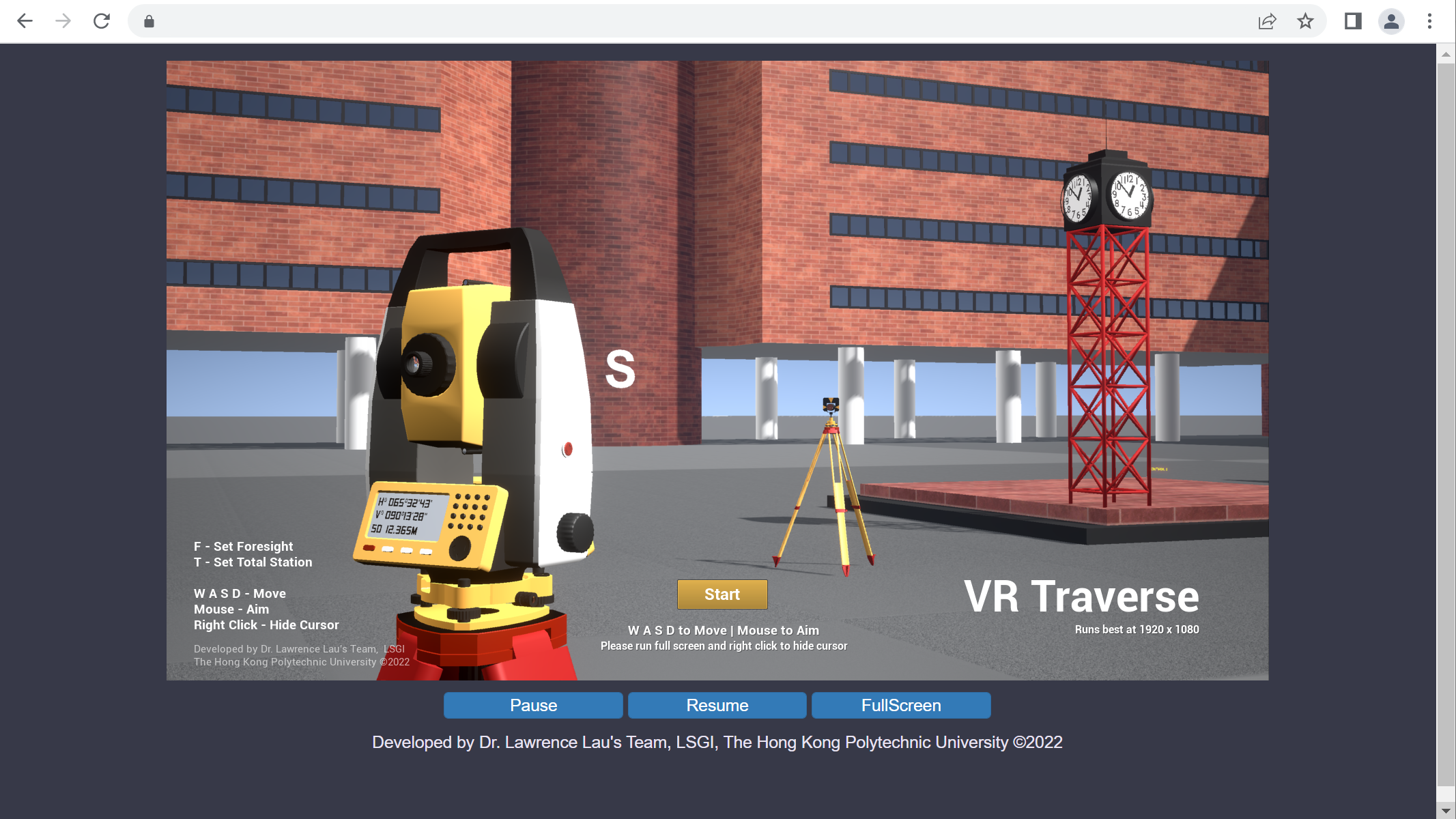
The virtual environment is a small enclosed area with buildings that look similar to those in PolyU.
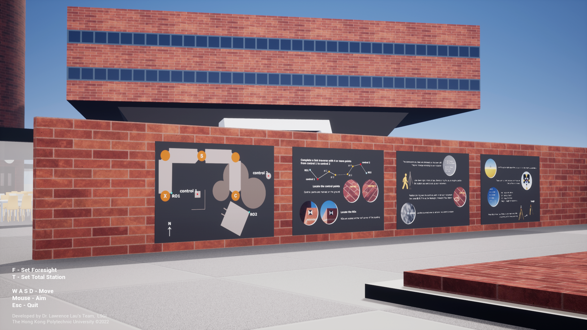
Along with the map, instructions and tips are displayed on the wall near the starting position.
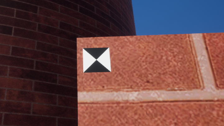
RO1 & RO2 are located at the roof corner of different buildings that can be easily found.
A fully functional web version that can run through a browser is available to Mac users.
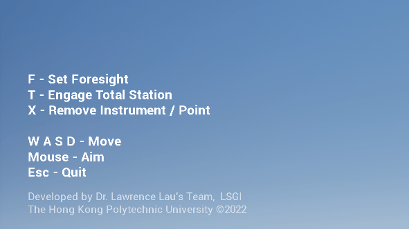
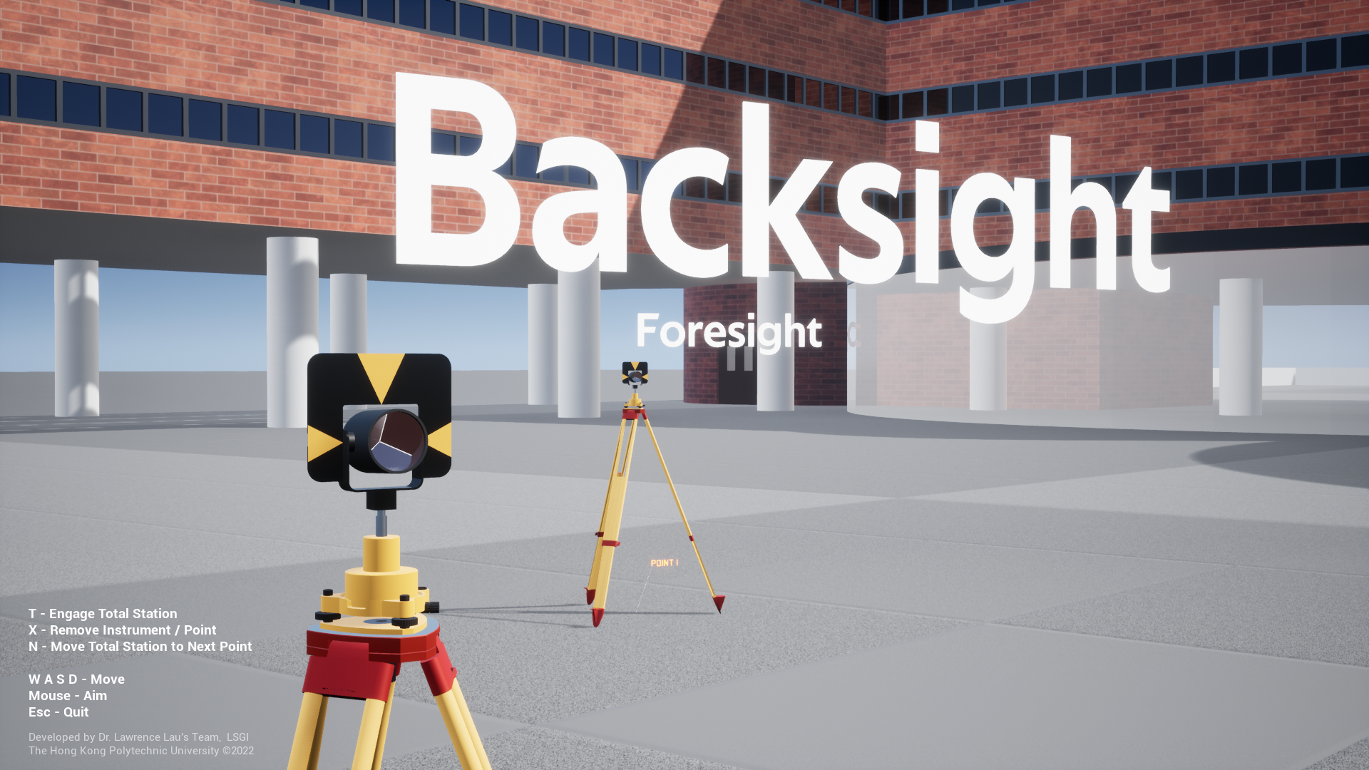
Available commands are displayed on the lower left, they will change according to circumstances.
Optical sight can be used for rough pointing to the target.
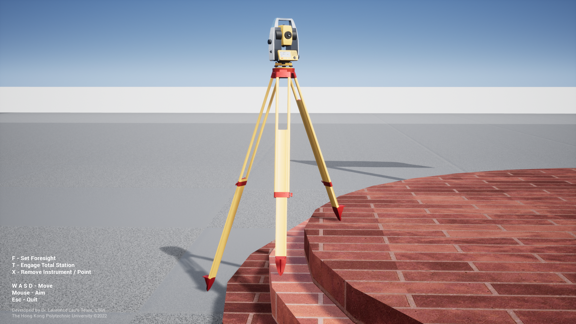
Tripod legs will extend to different lengths to cope with various terrain and instruments are auto-levelled.
Changing the total station to backsight and the foresight to total station can be done by one click.
Instruments and points can be removed and repositioned if their locations are undesirable.
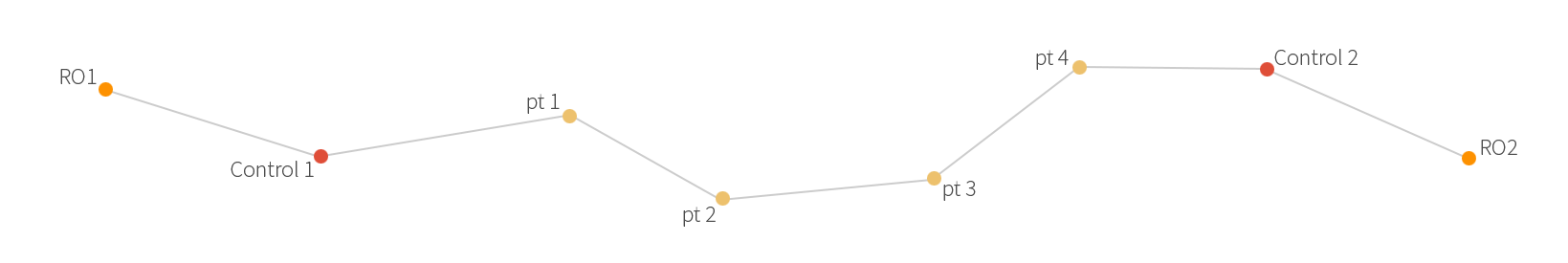
Students are required to complete a closed traverse from Control Point 1 to Control Point 2 and establish 4 or more new control points in between of their own choice. They need to download and run the VR Traverse program on their own computer to complete the fieldwork. The program can run on Windows machines with minimal requirements, a web version that can run through a browser is provided for students who use Mac as their computer. Using the surveying equipment in the program, students can carry out traverse survey within the virtual environment that resembles a mini PolyU campus. Measurements are booked manually onto the field sheet like they would do on-site. After taking all the required measurements, they need to complete the computations and make necessary adjustments. In case the misclosure is greater than allowed, they need to redo the whole survey.
As traverse surveying is fairly complicated with many steps involved, a small mistake can lead to big error, a short demo video (shown above) was created for students to get familiarised with the program and the surveying procedures. Along with all the raw data and computations, students need to submit answers to the two open questions "Problems came across and solutions" and "What you have learnt from the VR practical?" as well. The answers to the second question are compiled as the User Reviews below.
The program can be run on both chrome-based web browser and Windows PC.
In addition to our own VR Traverse, we gave students a commercial VR package developed by South Surveying and Mapping Technology Co. Ltd. (South) to use during the semester. The South VR package covers different surveying topics other than traversing. We have conducted anonymous questionnaire surveys on both programs and asked the very same questions to compare their performance. In general, students welcome using VR programs as teaching and learning tool and they rated VR Traverse higher in all regards.
As all practicals in semester 2 were cancelled, we offered make-up classes on total station operation and levelling during the summer. We took the opportunity to interview some students after they had their hands on real surveying equipment for the first time, asked them their experience on using VR Traverse.
*students were more at ease to express their opinions in cantonese,
english subtitles are available
“I quite recommend using VR to practise before doing any fieldwork. That will make the actual fieldwork much smoother.”
“using this app gives me a sense of familiarity, the virtual environment is our campus. Students can choose their own route freely, it has high degree of freedom”
“the app clearly displays the commands at the lower left, it shows you the next step after clicking different commands. It doesn't take much time to learn how to use.”
Project Leader:
Dr. Lawrence LAU (LSGI)
Production:
Andy MACK (LSGI)
Scientific Advisor:
Stella TSE (LSGI)
Members:
Prof. Wu CHEN (LSGI),
Prof. Charles WONG (LSGI),
Dr. Wallace LAI (LSGI),
Roy KAM (EDC)